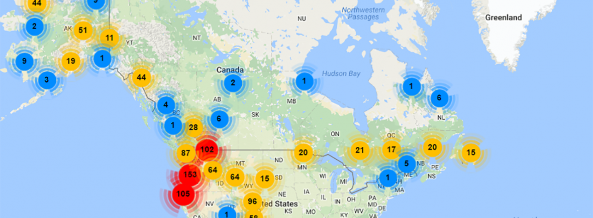
The sharing of locality data, including geographic coordinates, among collections in Arctos is one of its inherent strengths. In addition, Arctos incorporates various tools for georeferencing and mapping descriptive locality information. Consequently, Arctos data are spatially rich and easily visualized for research. View Arctos Locality Statistics.
-
- Georeferencing – Georeferencing is the process of assigning latitude and longitude coordinates and associated metadata to a place. Although new records often come with coordinates taken using GPS units, that is not always the case (e.g., salvaged material, legacy collections, etc). Furthermore, older records may require retrospective georeferencing to determine the spatial coordinates. Data in Arctos have been georeferenced through different activities, including distributed data network projects such as HerpNET, MaNIS, ORNIS, and FishNet2 (see VertNet classic networks). Arctos integrates semi-automated georeferencing tools that facilitate assignment of coordinates to localities, including a plug-in for GeoLocate and geolocation through Google Maps. View more georeferencing resources.
- BerkeleyMapper – BerkeleyMapper, originally developed to map locality coordinates, is used by Arctos to visualize the results of searches. In addition to its mapping functions (street, terrain, satellite views), BerkeleyMapper also provides geocoding services and tools for measuring areas and line distances on a map, and performing spatial subsets.
- Google Maps and Google Earth – Arctos uses Google Maps services to geocode localities and embed thumbnail maps into different pages (e.g., specimen detail, specimen records, media results) for immediate visualization. For more advanced mapping functionality, Arctos provides options for exporting data as a KML file that can be opened in Google Earth or Google Maps.